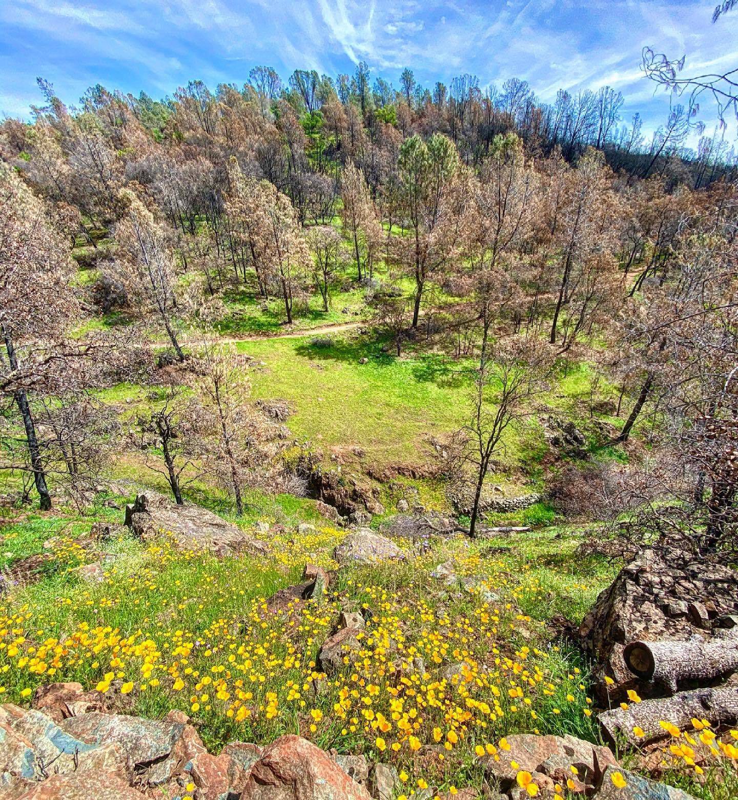
Tucked away at the north end of Oroville Dam, Potters Point features a variety of mixed-use trails, where you’ll find scattered benches and picnic tables, a number of beaches, and great terrain for horse and bike riding, trail running, hiking, and easy walks.
The trail also features a forest of pines, oaks, and some chestnuts with an abundance of wildlife, including deer, rabbit, coyote, turkey, and more. Of particular interest is an eagle nesting area, which results in the trail’s closure for a portion of the spring and early summer months.
Find the entrance to the trail at the Oroville Dam boat launch parking lot.
ADA Accessibility
A portion of the trail, the Potters Ravine Pedestrian Only ADA Trail, is ADA accessible and can be accessed via dirt paths from the Spillway Day Use Area (located on the north side of Oroville Dam).
Trip Tips
Make sure to review hiking best practices and trail etiquette and follow Leave No Trace principles as you explore.
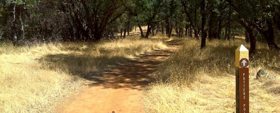
Potter Point Loop Trail
Starting at the Northeast corner of the parking lot, Potters Point Loop Trail offers two routes at the trailhead: head right for the lower and flatter half or left (towards Potters Point) for a harder start (just remember that it’s a loop, so you’ll end doing both options in the end!).
At Potters Point, you’ll be rewarded with views of the Bidwell Bar Bridge (aka, the “Green Bridge”) across the lake as well as views of the backside of Oroville Dam.
For added mileage and adventure, explore other trails you’ll encounter on the loop, including Dead Cow Ravine Trail and Potters Ravine Spur.
Potters Point Key Info
Trail Difficulty: Moderate
Trail Length & Type: 5 mile loop
Best Used: Accessible year-round on the weekends
Dogs: Not allowed
Trail Map: Interactive Lake Oroville map
Other important info: Pedestrian-only ADA trail available; day-use fee required
Other Links: CA State Parks Lake Oroville Trails Maps
Potters Ravine and North Fork Trail
Combining Potters Point Loop with the North Fork Trail, this nearly 19-mile loop offers beautiful trails for hikers and bikers along the hi water level of Lake Oroville, which means no long up hills or down hills, just short ups and downs. While the trail is often along a steep hill, the trail is wide and mostly smooth.
Potters Ravine Key Info
Trail Difficulty: Moderate
Trail Length & Type: 18.7 mile loop
Best Used: Accessible year-round on the weekends
Dogs: Not allowed
Trail Map: Interactive Lake Oroville map
Other Links: CA State Parks Lake Oroville Trails Maps